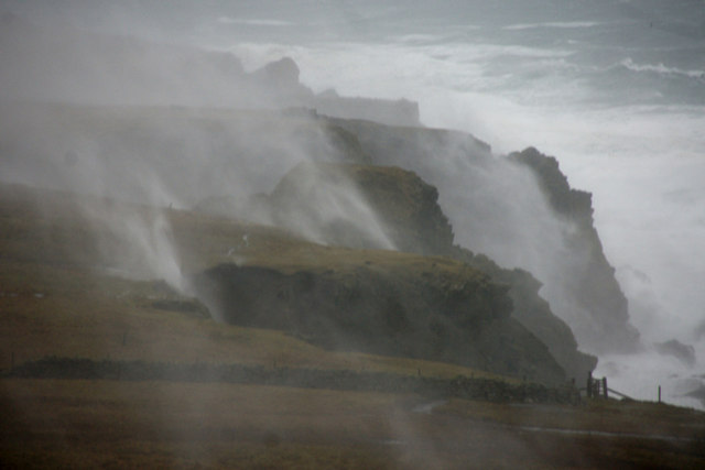
The Environment agency have just issued a severe flood warning for coastal regions of south west England as strong winds and high tides are expected to cause significant coastal flooding.
There are currently nine severe flood warnings in place...
Low lying and exposed communities between Exmouth and Lyme Regis, including sea front areas of Exmouth, Budleigh Salterton, Sidmouth and Seaton.
Low lying and exposed communities between Start Point and Dawlish Warren, including Beesands, Torcross, Slapton, Torbay and Dawlish.
Lands End to Plymouth excluding Truro and Plymouth Barbican.
Lands End to Hartland Point excluding Bude and Wadebridge.
Low lying areas on the tidal River Taw, including Bishops Tawton and Lake.
Low lying areas on the tidal River Torridge, including Weare Giffard, Bideford East-the-Water, Wooder Wharf and Northam.
Low lying areas and communities in the Taw Torridge Estuary, including Instow, Appledore, Fremington, Muddlebridge, Braunton Marsh, Velator, Wrafton, Chivenor and Yelland.
Low lying or exposed parts of coastal communities in North Devon, including Clovelly, Westward Ho!, Watermouth Cove, Combe Martin and Lynmouth.
Low lying and exposed parts of Ilfracombe, including Cheyne Beach, The Quay, The Strand and Broad Street.
The time and date of forecast high water is 07:00 on 03 Jan 2014. The predicted astronomical tide level is 5.11mAOD. The forecast surge height is 0.59m. Wave height of six to nine metres is predicted.
For regular updates visit our Facebook page, click the 'Like' button and then click the 'Follow' button. Updates will then appear in your Facebook news feed.